Subnetwork Extent and Units
Every network level object, except the top subnetwork, is contained within a fixed, mobile, or satellite subnetwork object and has a location within that subnetwork. Therefore, to specify locations, an internal coordinate system is associated with each subnetwork object.
A subnetwork’s coordinate system has configurable units. Degrees, arc seconds, kilometers, meters, miles, and feet may be specified as the units for fixed subnetworks. Kilometers, meters, miles, and feet may be used for mobile and satellite subnetworks. Degrees may only be used in certain cases: a fixed subnetwork may have units of degrees if its parent subnetwork also has units of degrees. Conversely, if a parent subnetwork does not have units of degrees, then any child subnetworks may not either. The choice of units for a subnetwork is typically based on how convenient the units are for describing the locations of objects within the subnetwork.
A fixed subnetwork’s coordinate system has two axes, x and y, wheras the coordinate systems for mobile and satellite subnetworks have x, y and z axes. The x axis is horizontal and always increases left to right. The y axis is vertical and increases bottom to top. The z axis for mobile and satellite subnetworks defines altitude, but is not visible in the Project Editor workspace.
A subnetwork’s extent outlines the area in which there are network objects.
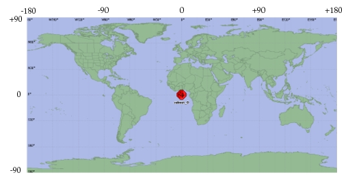
The units of all subnetworks are configurable, except for those of the top subnetwork. The top subnetwork’s units are always degrees. When a subnetwork is measured in degrees, its size is limited to -180° to +180° longitude and +90° to -90° latitude.
Figure 187: Subnetwork’s Internal Coordinate System